Use the map, path traces and line of sight
Node map
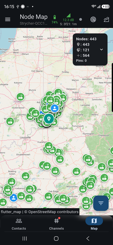
The Map tab shows every node with a known position. The panel at the top right summarizes how many nodes are shown; tap its arrow for the breakdown.
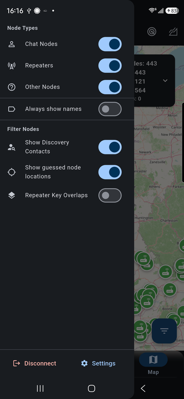
The menu button at the top left chooses which nodes appear: chat nodes, repeaters and other nodes, discovered contacts, guessed locations, and whether names are always shown.
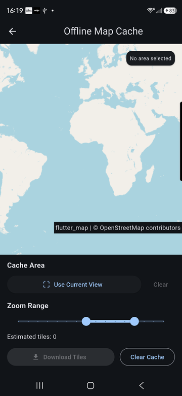
Map tiles come from OpenStreetMap. To use the map without a connection, save an area first under Settings > App Settings > Offline Map Cache.
Path trace
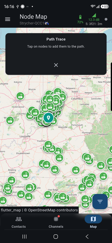
The path trace button at the top right starts a trace: tap nodes on the map, in order, to build the route you want to trace. Tap the X to cancel.
Line of sight
The line-of-sight button checks whether terrain blocks the radio path between two points. Tap nodes, or long-press the map for a custom point, to set point A and point B, then run the check.
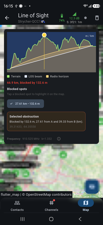
The profile shows:
- Terrain along the path, from Open-Meteo elevation data.
- LOS beam, the straight line between the two antennas.
- Radio horizon, the curve the signal follows at your radio's frequency.
The result reads either "clear" with the minimum clearance, or "blocked" with how far the terrain rises above the path. Tap a blocked spot to highlight it on the map; the details give its distance from each end and its coordinates.
Distances and heights follow Settings > App Settings > Units.